Bing Maps Canada
Bing Maps Canada provides comprehensive navigation and mapping coverage for the world's second-largest country by total area. From the cosmopolitan streets of Toronto and Vancouver to the remote wilderness roads of the Canadian Prairies and northern territories, Bing Maps delivers accurate driving directions, real-time traffic data, and detailed mapping that helps Canadian drivers navigate this vast and diverse nation.
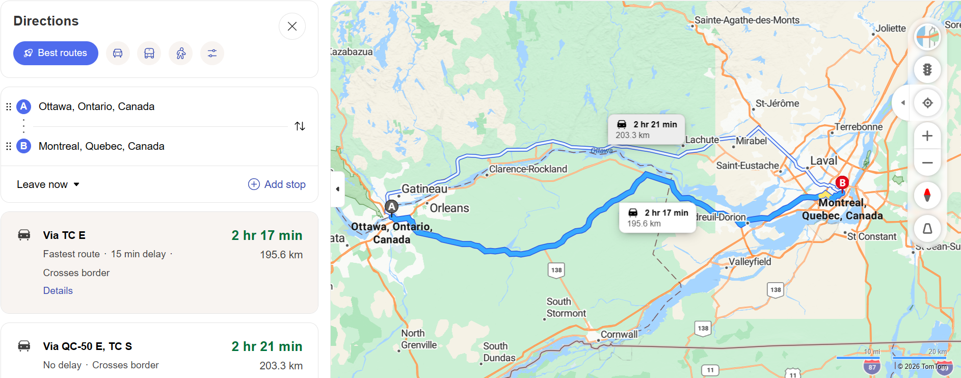
Canada's road network spans over one million kilometers, connecting ten provinces and three territories across six time zones. The Trans-Canada Highway alone stretches approximately 7,821 kilometers from Victoria, British Columbia, to St. John's, Newfoundland, making it one of the longest national highways in the world. Bing Maps provides complete routing coverage for this national artery and the thousands of provincial, regional, and municipal roads that branch from it.
Navigating Canadian Highways
The Trans-Canada Highway
The Trans-Canada Highway (Highway 1) is Canada's most iconic road, traversing the entire country from coast to coast. Bing Maps provides detailed routing along its entire length, including traffic conditions, rest stops, and fuel stations. For drivers crossing provinces, Bing Maps calculates time zone changes and provides accurate arrival estimates that account for the vast distances involved.
Provincial Highway Systems
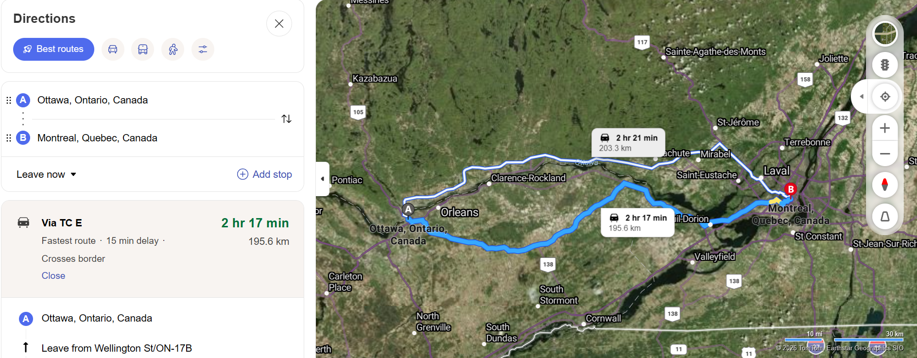
Each Canadian province maintains its own highway system, from Ontario's 400-series expressways to Quebec's autoroutes, Alberta's provincial highways, and British Columbia's mountainous road network. Bing Maps integrates all these provincial systems into a unified routing experience, seamlessly guiding you across provincial boundaries without interruption.
Winter Driving Considerations
Canadian winters present unique driving challenges that affect route planning. Heavy snowfall, ice, and reduced visibility can significantly impact travel times and road safety. While Bing Maps provides standard traffic data, Canadian drivers should supplement this with provincial road condition reports during winter months, particularly when traveling through mountain passes in British Columbia and Alberta or across the northern prairies.
City Navigation in Canada
Toronto and the Greater Toronto Area
Toronto, Canada's largest city, features a complex highway network including the 401 — one of the busiest highways in North America — plus the Don Valley Parkway, the Gardiner Expressway, and Highway 407 (a toll road). Bing Maps provides real-time traffic monitoring for all GTA highways and detailed urban routing through Toronto's grid of streets and avenues.
Vancouver and Lower Mainland
Vancouver's geography — surrounded by mountains, ocean, and the Fraser River — creates unique traffic bottlenecks at bridges and tunnel crossings. Bing Maps helps drivers navigate the Lions Gate Bridge, Alex Fraser Bridge, George Massey Tunnel, and other critical chokepoints by providing traffic data that reveals current waiting times and alternative routes.
Montreal and Quebec City
Quebec's bilingual road signs, distinctive highway numbering, and European-influenced city layouts can be unfamiliar to drivers from other provinces. Bing Maps provides French and English place names and routes through Montreal's island geography, including bridge crossings that connect the city to its surrounding suburbs on the South Shore and Laval.
Planning Canadian Road Trips
Canada offers some of the world's most spectacular road trip opportunities. Use the Trip Planner to plan these iconic Canadian drives:
Icefields Parkway — Drive Highway 93 between Jasper and Lake Louise through the Canadian Rockies. This 232-kilometer route is considered one of the most scenic drives on Earth, passing glaciers, turquoise lakes, and towering mountain peaks.
Cabot Trail — Circle Cape Breton Island in Nova Scotia on this legendary 298-kilometer loop that follows the Atlantic coastline and climbs through the Cape Breton Highlands. Bing Maps helps plan stops at lookout points, fishing villages, and hiking trailheads.
Sea-to-Sky Highway — Drive Highway 99 from Vancouver to Whistler along British Columbia's stunning coastline. This route combines ocean views, mountain scenery, and access to world-class outdoor recreation.
Maritime Provinces Tour — Plan a multi-province road trip through New Brunswick, Nova Scotia, and Prince Edward Island, exploring lighthouses, lobster shacks, Acadian culture, and the Bay of Fundy's record-breaking tides.
Canada-Specific Navigation Features
Metric Distance Display — Canada uses the metric system, and Bing Maps correctly displays distances in kilometers when navigating within Canada. This matches Canadian road signs, speed limits (posted in km/h), and odometer readings on Canadian-market vehicles.
Bilingual Support — Bing Maps supports both English and French, reflecting Canada's two official languages. This is particularly important when navigating in Quebec, where road signs, place names, and navigation instructions are primarily in French.
Cross-Border Routing — Bing Maps seamlessly handles routing between Canada and the United States, including identification of border crossing points, major ports of entry, and bridge and tunnel crossings between the two countries.